About

GIS work shaped by real workflows, clear communication, and maintainable delivery.

We combine GIS, web development, imagery analysis, automation, and spatial data management to help organizations make better use of mapping without adding unnecessary complexity.

Professional approach

We understand how important every step of the work is.

At Skinny Water Geospatial, we know that strong GIS deliverables start long before a map, dashboard, or report is built. Field observations, site photos, GPS data, notes, imagery, spreadsheets, and local context all shape the final product.

We help turn that real-world information into clear, modern GIS outputs: interactive web maps, spatial analysis, automated reports, visual workflows, and decision-ready deliverables that technical and nontechnical stakeholders can use with confidence.
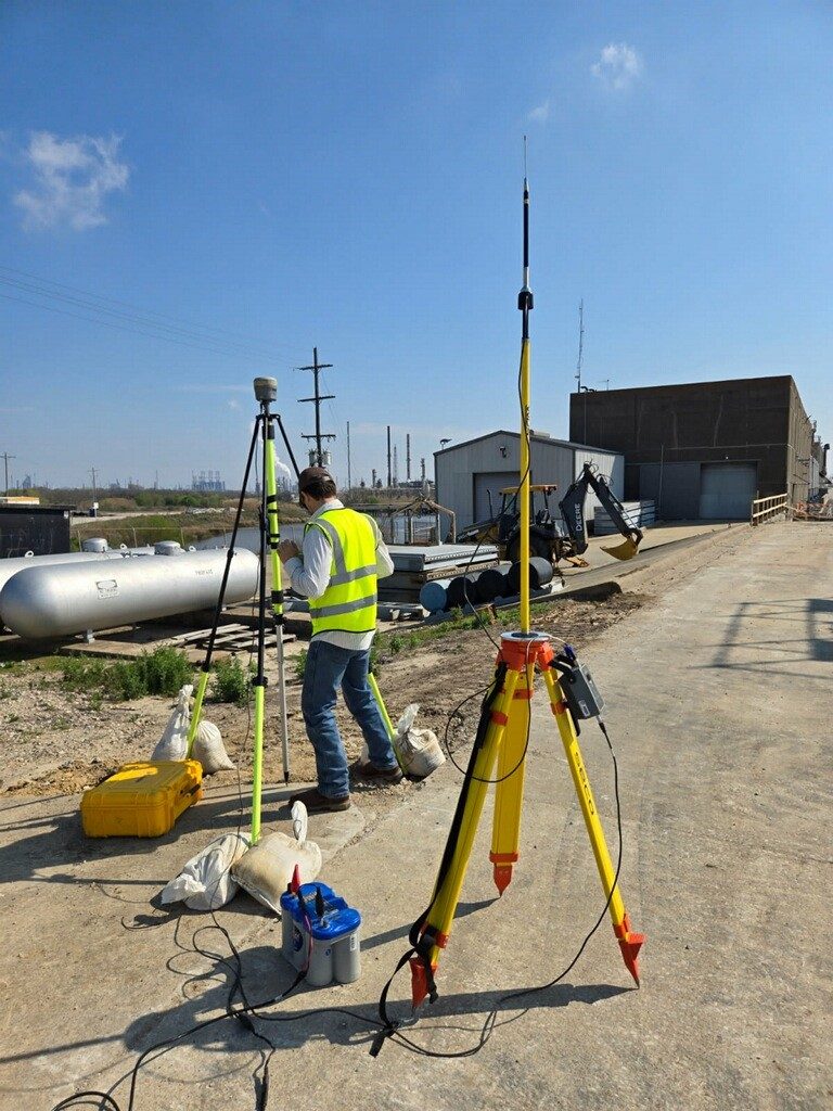
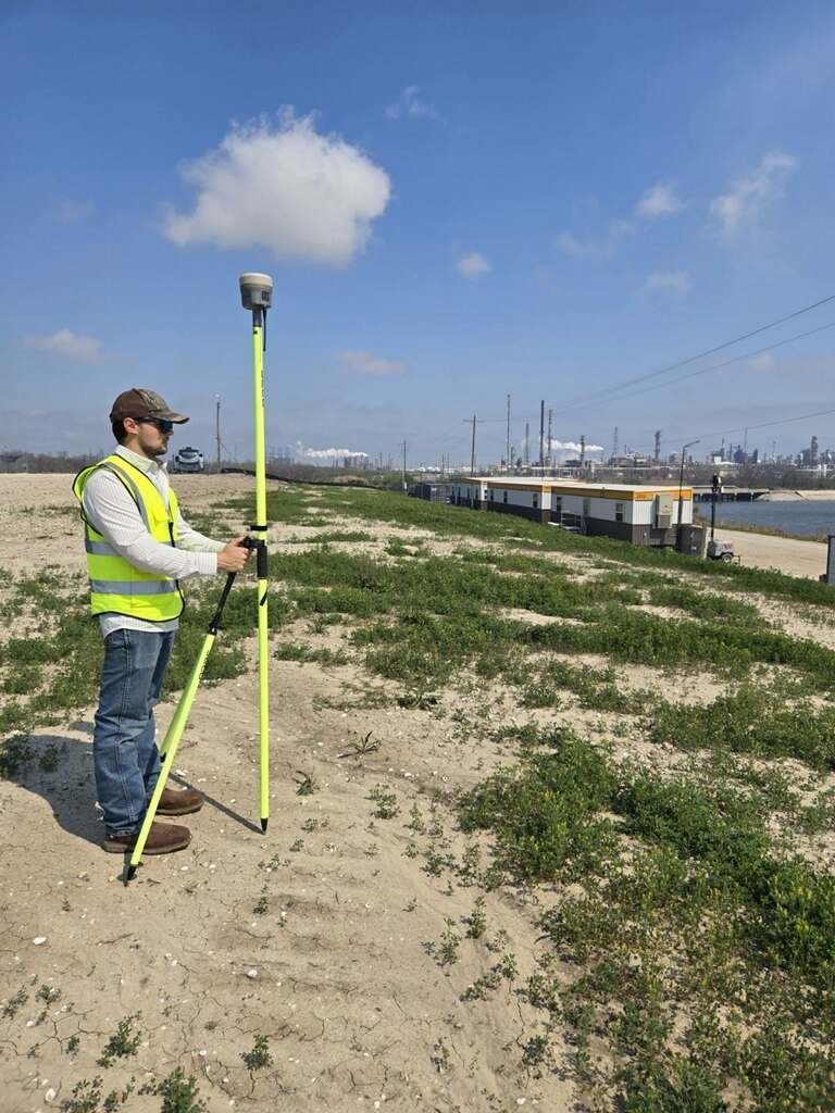
GPS base station equipment set up at an industrial field site. A field worker collecting location data near a waterfront site.
Every input matters We understand that reliable field observations, control points, and site context are what make the final data-driven product accurate and useful.
Drone prepared for takeoff in a field setting.
Current conditions count Capturing what is happening now helps keep the analysis grounded in real conditions, so the finished product can support a stronger decision.
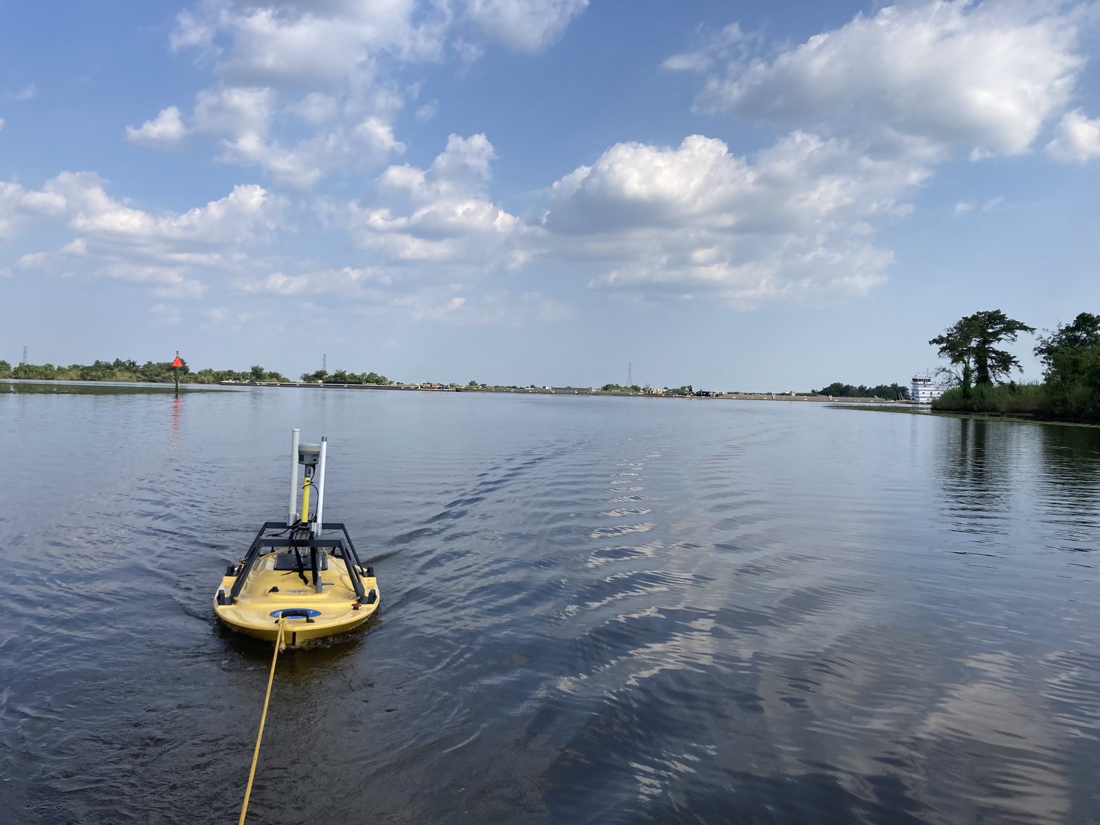
A small field vessel operating on open water near industrial shoreline conditions.
Context shapes the outcome Each project setting adds important details that influence how data should be organized, interpreted, and turned into decision-ready work.
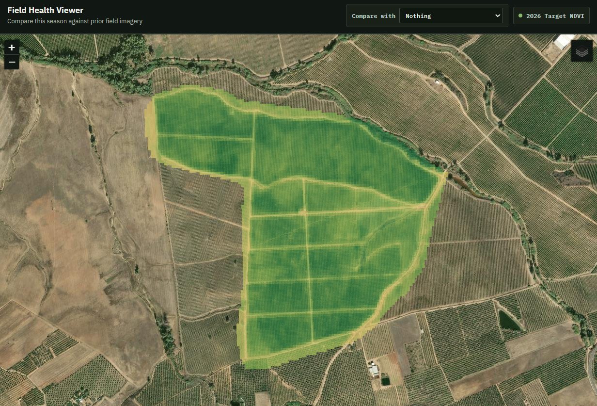
Field Health Viewer map showing a target NDVI overlay on aerial imagery.
Decisions need clear evidence When every step is handled carefully, the final map, analysis, or report gives you a clearer basis for making a confident data-driven decision.

How the work is handled

Practical GIS help without forcing the project into a generic template.

Core capabilities

Web GIS development, interactive maps, Python automation, remote sensing, imagery analysis, spatial data management, dashboards, cartography, and analysis.

Clear communication

Requirements are translated between field teams, project managers, analysts, executives, and technical stakeholders.

Maintainable delivery

Solutions are planned with documentation, sensible data structures, and long-term support needs in mind.

Practical fit

Recommendations focus on the client environment, staff capacity, existing systems, and realistic next steps.

Industries served

Organizations that need mapping capacity.

  • Engineering firms
  • Environmental consultants
  • Construction teams
  • Real estate and land development groups
  • Local governments
  • Utilities and infrastructure teams
  • Surveying and field services teams
  • Marine, coastal, and waterfront projects
  • Landowners and property managers
  • Small businesses with location-based data
  • Organizations without a full-time GIS team

Tools and platforms

Technology used where it fits.

  • ArcGIS and related GIS platforms
  • Web mapping technologies
  • Python automation
  • JavaScript interfaces
  • Spatial databases and hosted layers
  • Dashboard and reporting tools