Core capabilities
Web GIS development, interactive maps, Python automation, remote sensing, imagery analysis, spatial data management, dashboards, cartography, and analysis.
About
We combine GIS, web development, imagery analysis, automation, and spatial data management to help organizations make better use of mapping without adding unnecessary complexity.
Professional approach
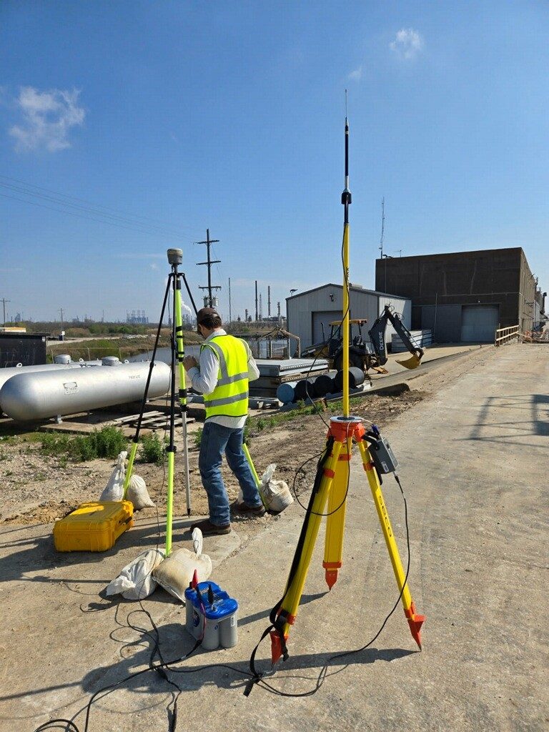
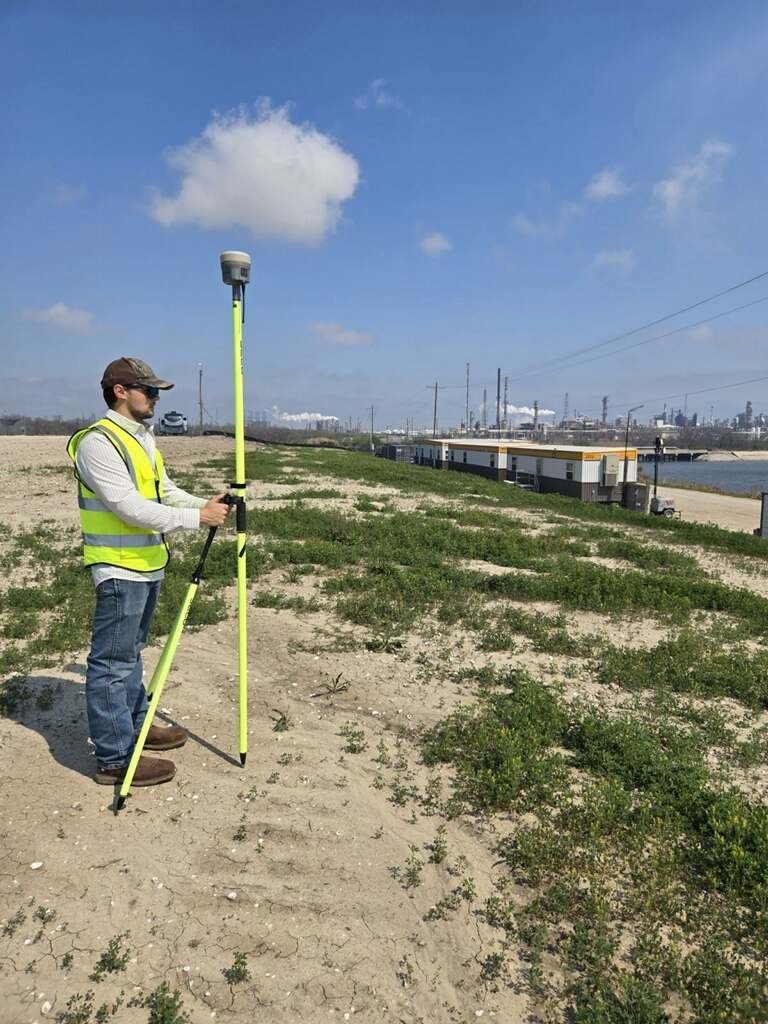
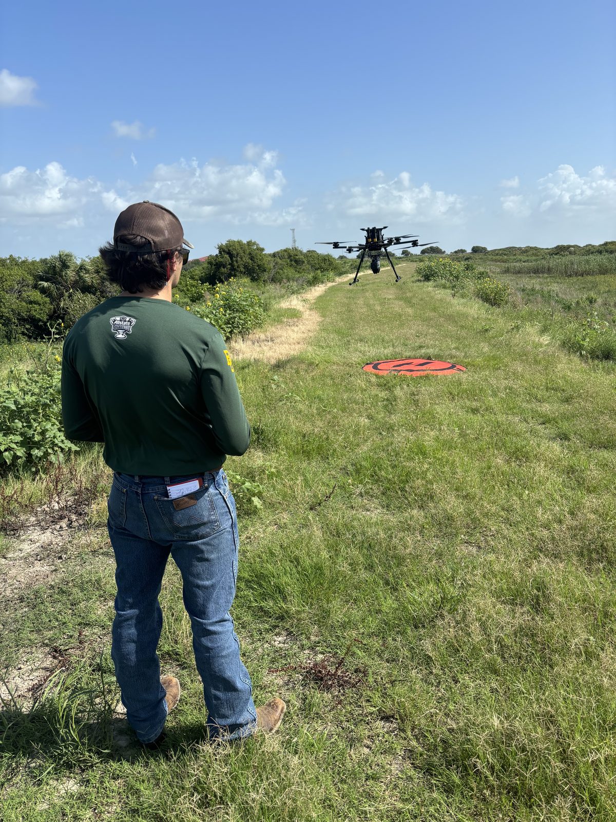
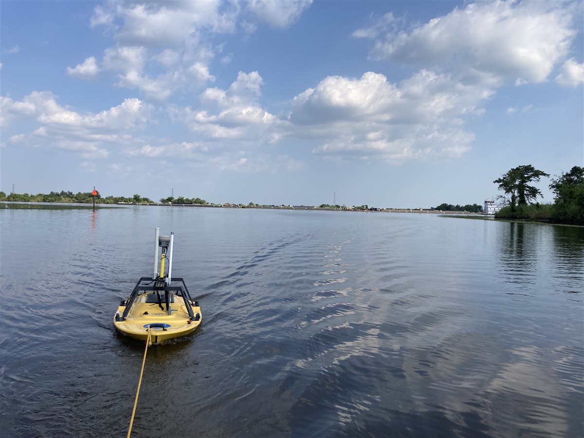
At Skinny Water Geospatial, we know that strong GIS deliverables start long before a map, dashboard, or report is built. Field observations, site photos, GPS data, notes, imagery, spreadsheets, and local context all shape the final product.
We help turn that real-world information into clear, modern GIS outputs: interactive web maps, spatial analysis, automated reports, visual workflows, and decision-ready deliverables that technical and nontechnical stakeholders can use with confidence.
How the work is handled
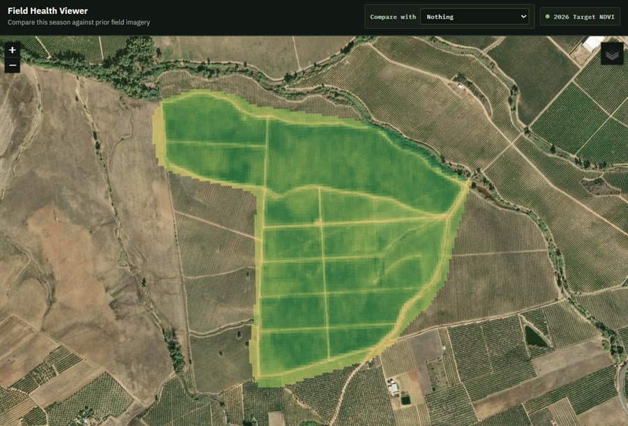
Web GIS development, interactive maps, Python automation, remote sensing, imagery analysis, spatial data management, dashboards, cartography, and analysis.
Requirements are translated between field teams, project managers, analysts, executives, and technical stakeholders.
Solutions are planned with documentation, sensible data structures, and long-term support needs in mind.
Recommendations focus on the client environment, staff capacity, existing systems, and realistic next steps.
Industries served
Tools and platforms